Rivers & Estuaries
Otways Landscape Programs > Rivers & Estuaries
Water is the lifeblood of our landscapes and rivers are the arteries that carry it. For millennia, First Nations people have understood that we share our fate with rivers, that we only flourish where they flourish. And this has been understood by newer arrivals to these shores too, reflected in the locations of cities and towns all over this continent.
The Otways is a region particularly rich in its abundance of rivers and streams, most flowing year-round. These river systems connect a multitude of ecosystems and landscapes, from where they rise in the tall wet forests in the highest parts of the ranges, all the way through to the kelp forests and sponge gardens of the ocean. They are relatively short systems, cascading down steep slopes, then slowing their pace within view of the sea. Like all rivers born from rainfall, their flows swell and shrink with the seasons, and human use of these systems requires thoughtful management to ensure we don’t leave them vulnerable.
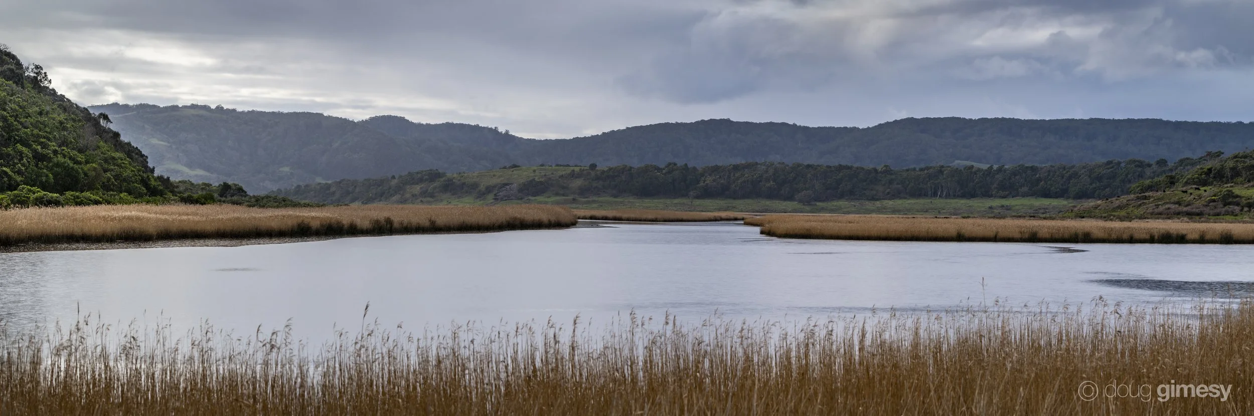
Nearly all the rivers along the Otway coast culminate in estuaries that are intermittently open or closed, sealing off from the sea behind a sand berm before breaking open again with heavy rain or tidal energy. This restless cycle of closure and flooding sustains diverse habitats and rich biodiversity across wetland and estuarine ecosystems, but also further upstream.
We approach this program with an understanding that rivers are living, whole systems – from their sources and catchment landscapes, to their estuaries, to their outlets into the ocean. We recognise the need for Otway rivers to support coastal communities along the Great Ocean Road, including their opportunity for recreation, tourism and food production. We also recognise that water is needed for all lifeforms, not just human. And that it moves, between jurisdictions, catchments, species and generations.